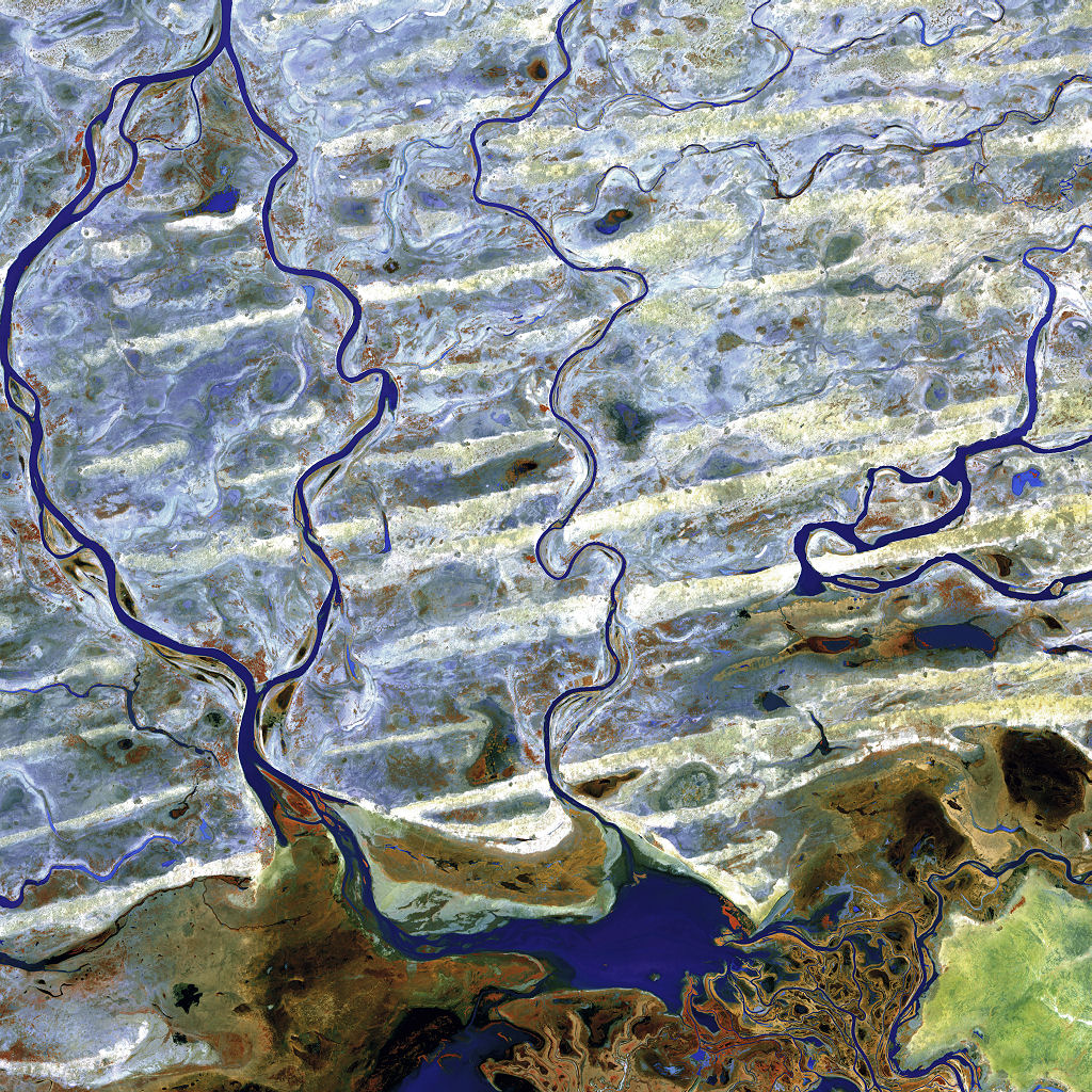
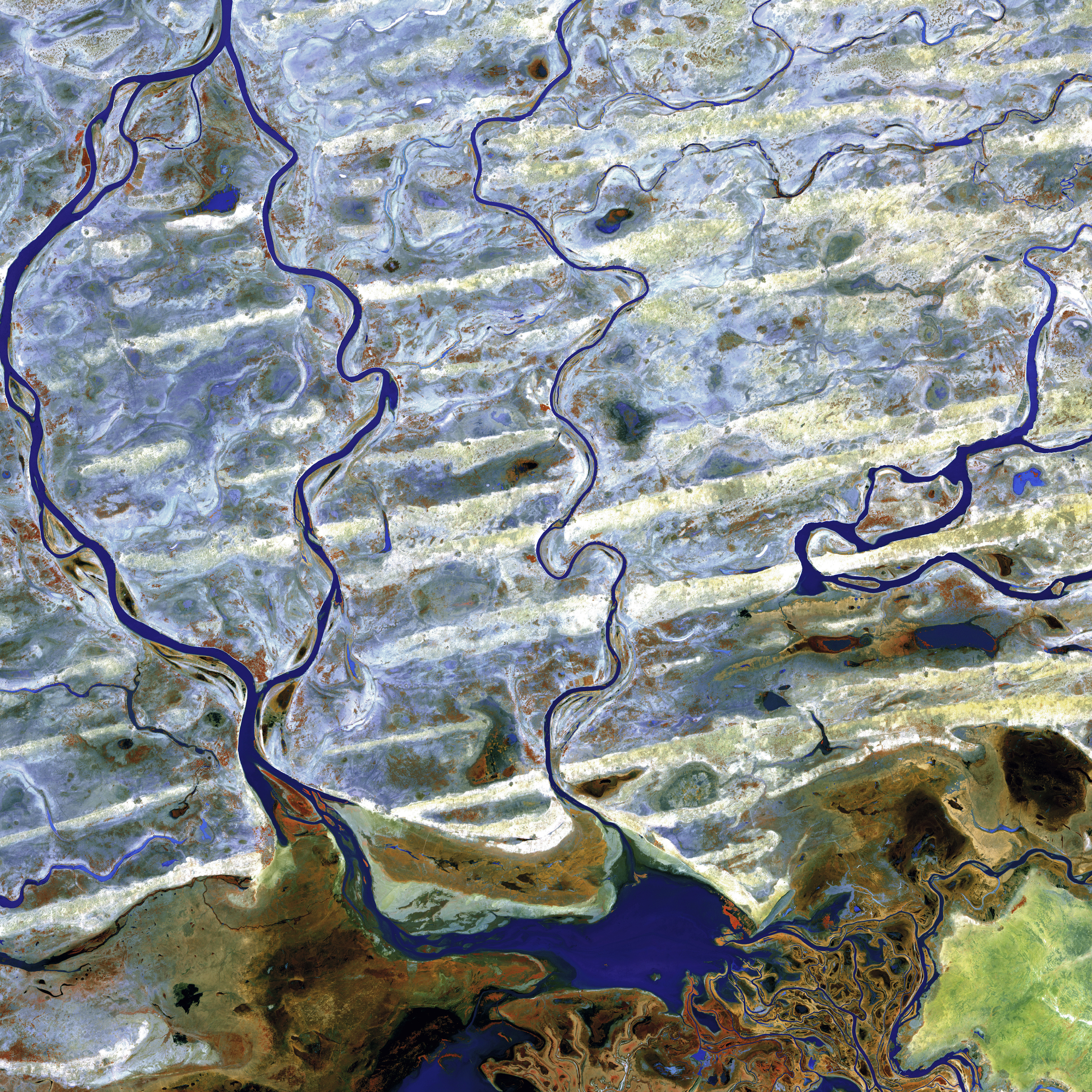
Coursing through parched, landlocked Mali in Western Africa, the Niger River skirts the edge of the dune-striped Sahara before turning sharply south to join the Bani River. At the confluence of the two rivers is an inland delta complete with narrow, twisting waterways, lagoons, and tiny islands.
Image taken February 8, 2003, by the ASTER instrument on NASA’s Terra satellite.
Credit: NASA/GSFC/USGS EROS Data Center
Download High Resolution JPEG (4800×4800 pixels; 10.3 MB)
Download the corresponding KML file for use in Google Earth