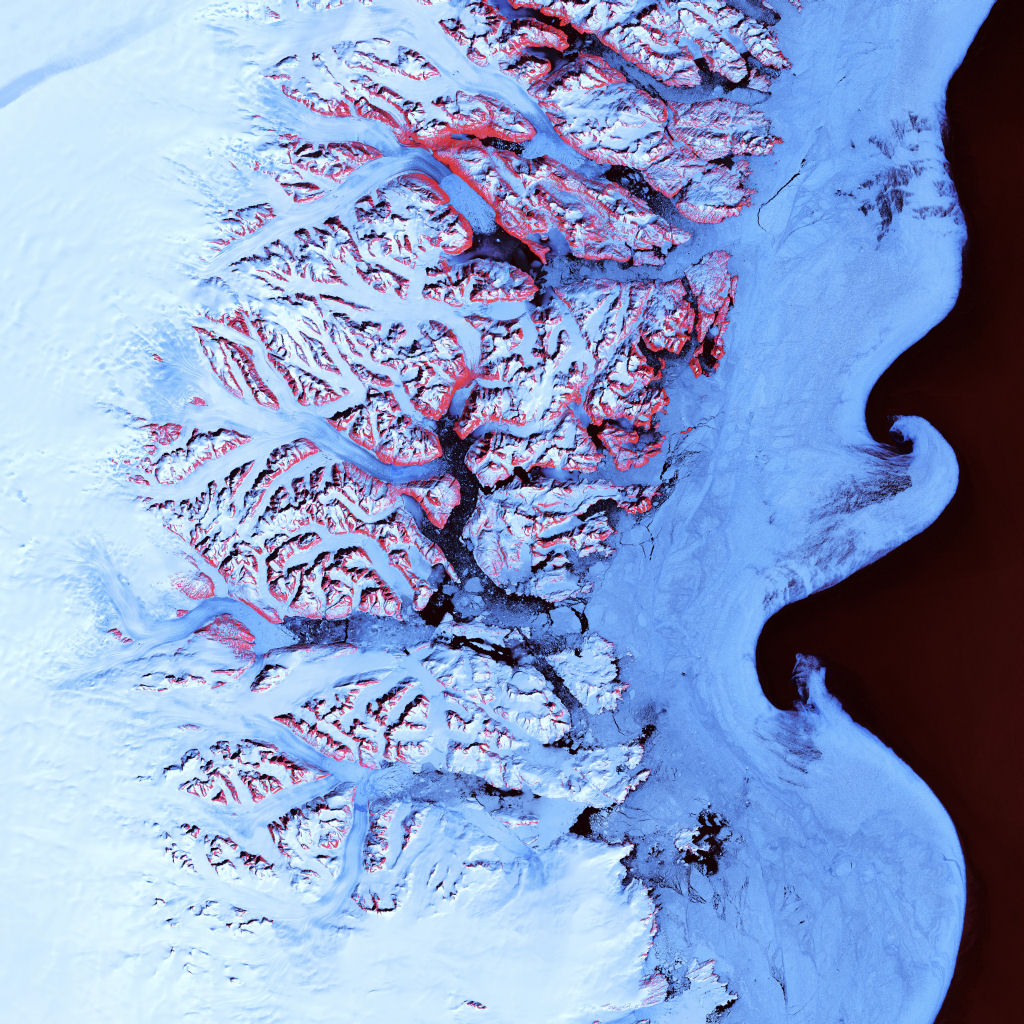
Along the southeastern coast of Greenland, an intricate network of fjords funnels glacial ice to the Atlantic Ocean. During the summer melting season, newly calved icebergs join slabs of sea ice and older, weathered bergs in an offshore slurry that the southward-flowing East Greenland Current sometimes swirls into stunning shapes. Exposed rock of mountain peaks, tinted red in this image, hints at a hidden landscape.
Image taken May 21, 2001, by Landsat 7.
Credit: NASA/GSFC/USGS EROS Data Center
Download High Resolution JPEG (4800×4800 pixels; 10.4 MB)
Download the corresponding KML file for use in Google Earth