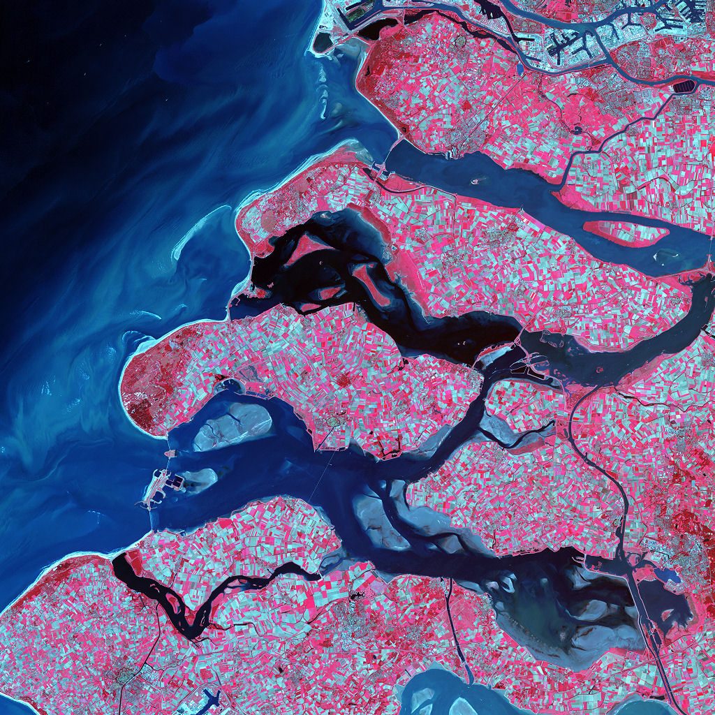
Along the southern coast of the Netherlands, sediment-laden rivers have created a massive delta of islands and waterways in the gaps between coastal dunes. After unusually severe spring tides devastated this region in 1953, the Dutch built an elaborate system of dikes, canals, dams, bridges, and locks to hold back the North Sea.
Image taken on September 24, 2002, by the ASTER instrument aboard NASA’s Terra satellite.
Credit: NASA/GSFC/USGS EROS Data Center
Download High Resolution JPEG (4800×4800 pixels; 9.9 MB)
Download the corresponding KML file for use in Google Earth